
UNS – Students of Universitas Sebelas Maret (UNS) Surakarta were collaborating with the Regional Disaster Management Agency (BPBD) of Sukoharjo Regency to assist in the Disaster-Response Village (Destana) program. As part of their community service program (KKN), they aim to increase the number of Destana in Sukoharjo, particularly in Jatingarang Village.
Jatingarang Village, located in the Weru District, is an area prone to flooding. KKN UNS Group 19 had successfully conducted disaster mitigation mapping. They created evacuation route maps and conducted a Village Resilience Assessment (Penilaian Ketangguhan Desa or PKD) as the output of their thematic KKN program focusing on Destana.
“The aim of making this map is to identify areas vulnerable to flooding, especially in Pilang Village. The PKD assessment, on the other hand, focuses on the administrative suitability of the village to be designated as a Disaster-Responsive Village,” Adhitya Fajar Rachmadi as Chair of Group 19 KKN said.
Through the data that has been obtained, KKN UNS Group 19 has been able to determine flood-prone areas by creating six maps as parameters for flood vulnerability. The criteria used include land slope, land elevation, soil type, rainfall, land use, and river buffers.
These six maps serve as guides for KKN UNS Group 19 to create evacuation route maps. These maps identify the physical evacuation routes in Jatingarang Village, which focuses on Pilang Village as the most vulnerable area to flooding disasters.
The making of disaster mitigation maps is of utmost importance to ensure the safety of lives and protect the property of the community. In addition, the village government (Pemdes) can use these disaster mitigation maps as a basis for formulating effective mitigation policies. The data from these maps helps in the proper allocation of resources to reduce disaster risks.
“These evacuation routes are expected to assist residents with clear routes, ensuring that the village communities do not face difficulties and can efficiently evacuate during flooding disasters,” Adhitya continued.
Designation as a Disaster-Responsive Village
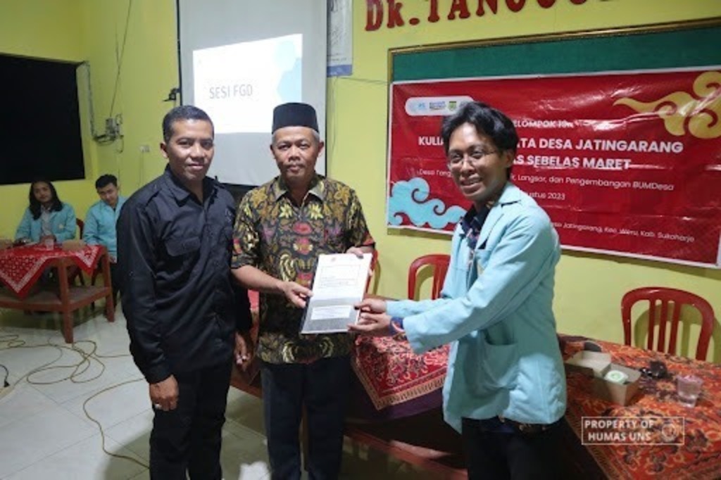
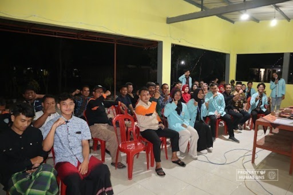
KKN UNS Group 19 held a focus group discussion (FGD) on Wednesday (23/8/2023). The FGD served as a platform to present the results of disaster mitigation mapping, involving the BPBD and elements of the village community.
They also provided the results of the Village Resilience Assessment (PKD) to Slamet Riyadi, S.P. as the village head (Kades). The presentation results concluded that Jatingarang Village falls under the category of a Disaster-Responsive Village at the highest level. This signifies that Jatingarang Village is well-prepared to face disasters based on the assessment results.
Humas UNS
Reporter: R. P. Adji
Editor: Dwi Hastuti