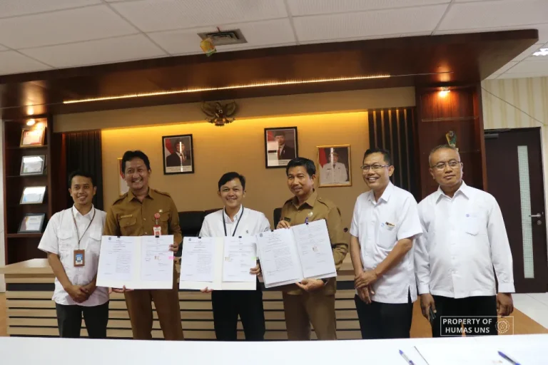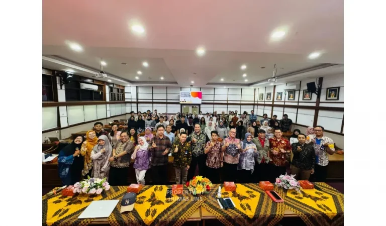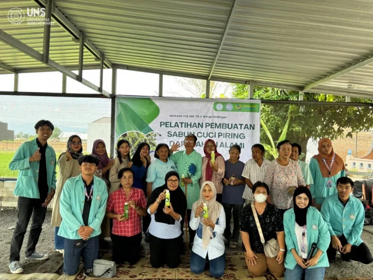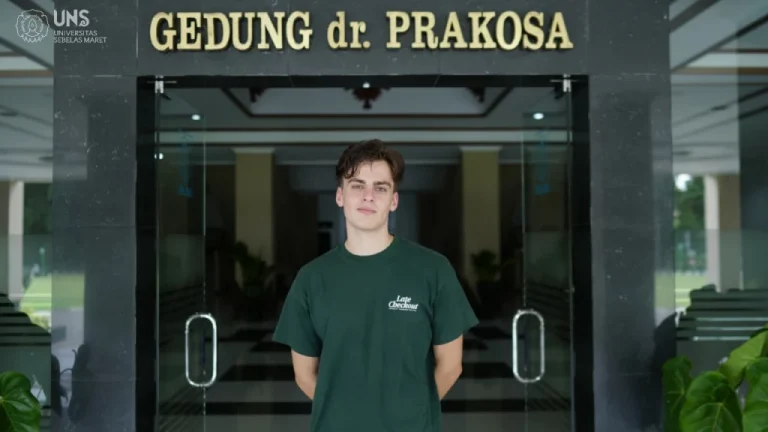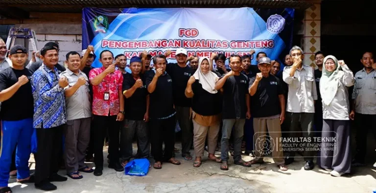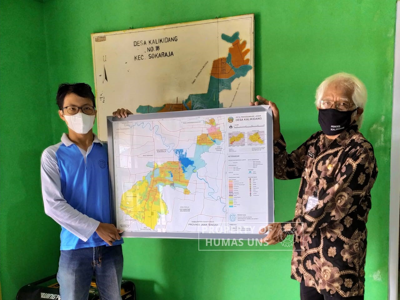
UNS — A student of Universitas Sebelas Maret (UNS) Surakarta provides a training on Geographical Information System (GIS) usage for the Kalikidang Village Apparatus, Sokaraja Sub-District, Banyumas. The training that was conducted in the mid of February specifically covers the health sector mapping using the ArcMap software.
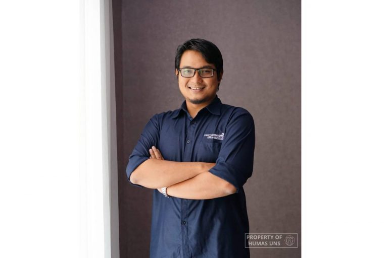
When contacted by uns.ac.id, the student from the Urban and Regional Planning Study Program, Faculty of Engineering (FT) explains that the health sector is chosen because of the ongoing Covid-19 pandemic. Therefore, the distribution of Covid-19 cases and health problems in Kalikidang need to be mapped. “The concept is to train the village apparatus to do self-mapping on the Kalikidang village’s potential and problems. Especially in the health sector, because of the current pandemic condition,” he explains, Thursday (25/2/2021).
Moreover, Rahman also gives help them to create a printed map for display. Actually, the village apparatus are very familiar with maps and can show the location and the village borders accurately. “However, there is no competent and skilled personnel to do digital mapping using the Geographical Information System. This condition leads to the lack of a village map and out-of-date information,” Rahman explains.
The training was attended by all village apparatus who directly practice how to use ArcMap. A printed module was given to the participants. Before the training, Rahman surveyed the Kalikidang village office to know the availability of the village map as well as a field survey. The field survey aims to know the physical condition and administrative borders such as RT, RW, the Village border, and Sub-District, as the basis of map preparation. After the material is collected, Rahman prepared a module on the Geographical Information System (ArcMap) basic usage. This module covers the steps to enter data into the ArcMap attribute table, creating a location point, and preparing a map that is ready to be printed or included in another document.
Challenge and Response
During the preparation stage, Rahman faces many challenges. First, when conducting field survey he must go on difficult terrain, damaged road, and indistinguishable administration border located in the middle of field or paddy field. Second, Rahman has to teach people who are older than him to use software for the first time, thus they had a little trouble. However, in the end, all participants can make a map independently.
A positive response was given by the village apparatus, especially from the Village Head and the Head of Planning Affairs Kalikidang Village. They are very enthusiastic about these activities from the start to finish. They are also thankful because the training is helpful for the village. “Moreover, currently, there is a PPKM Mikro program, after the training in PPKM post, they can make their map as a tool to mark the zone in each RT with pins,” Rahman explains.
This training was initiated by Rahman as a part of the Individual Student Community Service Program (KKN). Regarding KKN Program, Rahman reveals that he hopes in the future there will be more KKN Program that reaches the village apparatus. Humas UNS
Reporter: Kaffa Hidayati
Editor: Dwi Hastuti