UNS — The recovery of Indonesia tourism sector during this ongoing Covid-19 pandemic become one of the objectives worth fighting for. This condition gives students of Universitas Sebelas Maret (UNS) Surakarta a room for action. This time, a team of Student Creativity Program (PKM) from the Geography Education Study Program, Faculty of Teacher Training and Education (FKIP) UNS, took initiative to do a digital mapping and dissemination to support tourism sector in Desa Dukuh, Banyudono Sub-District, Boyolali. The program was carried-out in stages and concluded with a counseling by PKM-PM UNS team on Tuesday (24/8/2021).
Desa Dukuh has numerous tourism potential such as water tourism, religious tourism, and historical tourism. After an intensive observation, the UNS students team find out that there is no digital Geospatial database to map those potentials. Therefore, digital mapping is one step in supporting the Dukuh Village SDGs. Following this situation, the team proposed a solution through supporting digital system management and assistance for the village resident to do independent mapping. “The village (Dukuh Village) is a village with various tourism potential. However, some locations have not been managed properly and there is no digital map for each tourism spot,” said Sri Sadono as the Village Chief of Dukuh.

The team consisted of Aditya Eka Saputra (Geography Education Study Program class of 2018) acting as the Team Leader with three members namely, Ajeng Pangesti (Geography Education Study Program class of 2018), Natasya Maymuna (Pendidikan Geografi class of 2018), and Aida Nur Azqia (Geography Education Study Program class of 2019). Supervised by Dr. Rita Noviani, M.Si., the team observe the existing problem and proposing digital mapping concept to support the Dukuh Village tourism, while providing description for each tourism spot and training village independence in updating geospatial data. The digital mapping process is started by collecting Dukuh tourism recommendations from the resident, followed by location plotting to find the tourism location through Google Earth.
After the two initial steps, additional information for each tourism object is collected through interview with caretaker, tourist attraction manager, and youth organization members. Information also collected through literature review.
Not only focusing on WebGIS mapping, the team also build an android application to facilitate the resident in accessing the tourism object information and location in Dukuh Village. Afterward, the information on the tourism objects are published in social media to reach wider community and visitors. “Through this mapping, we found many potential. Hence expanding our understanding on how important digital map role in tourism sector,” said Anang Yuli as the Head of Dukuh youth association.
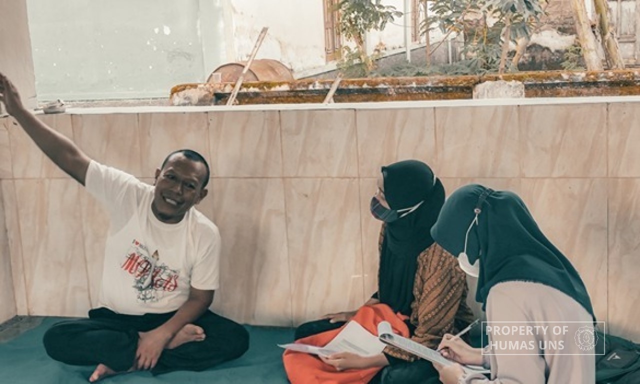
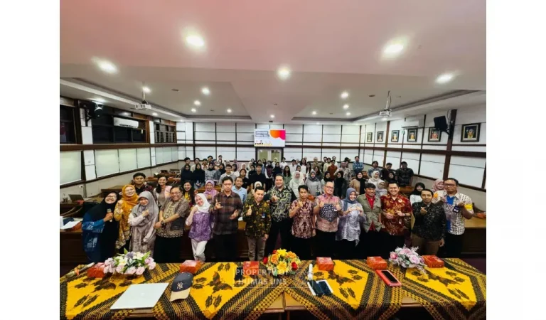
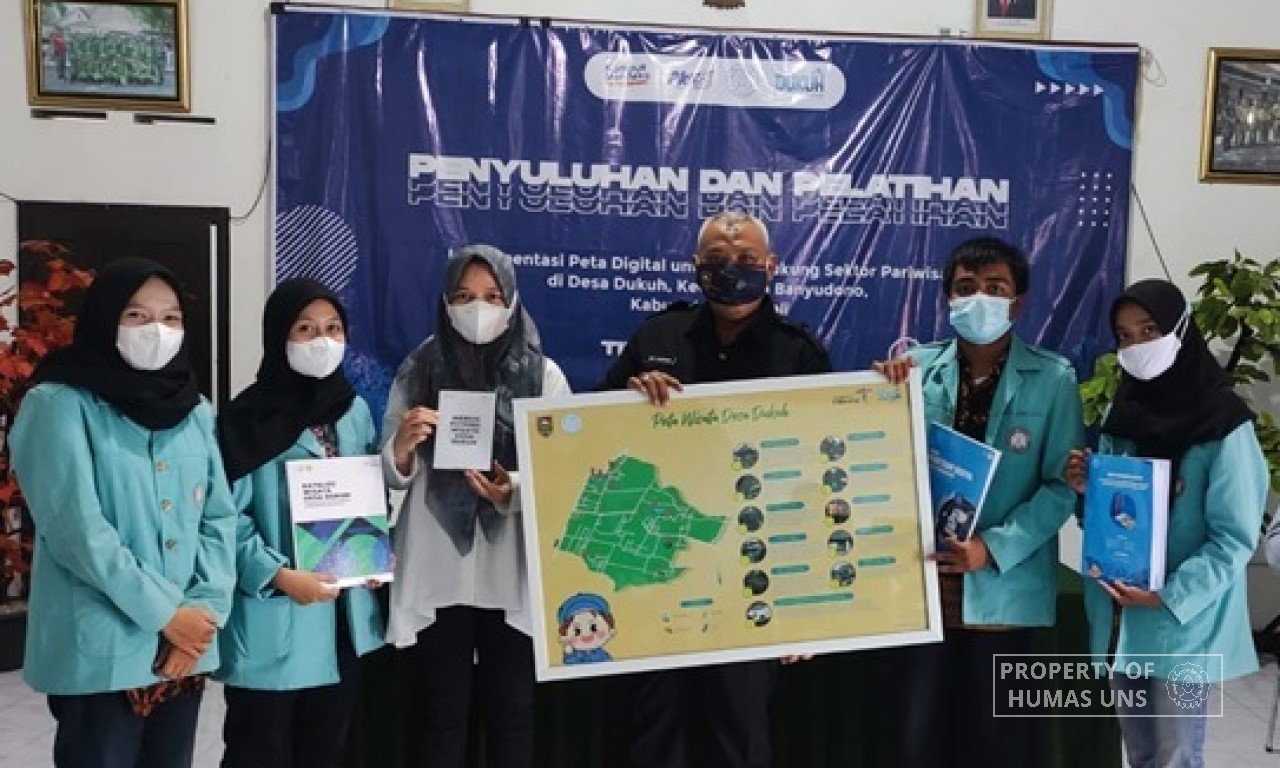
At the end of program, the PKM-PM team also hosted a counseling and training for the village officials, tourism managers, and youth organizations to do digital mapping and update data. The event was conducted on site with a strict health protocol implementation, which divided into two session, material presentation on tourism potential and digital mapping training. The training is expected to start the initiative for other villages in Banyudono, following the visitation by the Head of Banyudono Sub-District during the event. The team also offers consultation in the event of difficulties related with digital mapping.
“We hope that village independence in conducting digital mapping can optimize Dukuh Village potentials and motivating other villages to follow the steps taken by Dukuh Village, thus building great database,” said Rita Noviani as supervising lecturer. Humas UNS
Reporter: Rangga Pangestu Adji
Editor: Dwi Hastuti