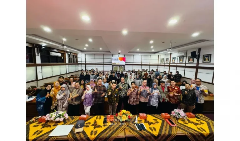
UNS — Disaster Study Center (PSB) of the Institute for Research and Community Services (LPPM) Universitas Sebelas Maret (UNS) Surakarta held a national webinar to celebrate UNS 46th Anniversary. The webinar discusses the “Southern Java Megathrust Earthquake and Tsunami Potential and the Efforts to Strengthen Community Capacity.” The webinar was held online through the Zoom Cloud Meeting and live-streamed on the LPPM UNS YouTube channel on Saturday (19/3/2022).
The webinar invited three speakers, Dr. Eko Yulianto, the Head of Geotechnology Research Center BRIN, Dr. Endra Gunawan, S.T., M.Sc from the Faculty of Mining and Petroleum Engineering (FTTM) Institut Teknologi Bandung (ITB), and Prof. Dr. Chatarina Muryani, M.Si as the Chairwoman of Disaster Study Center (PSB) LPPM UNS. The webinar was attended by 400 participants from academics, practitioners, and general people.
In her opening remark, Prof. Dr. Okid Parama Astirin, M.S., as the Chairwoman of LPPM UNS, mentioned PSB UNS’ central role in the development of disaster mitigation with its numerous experts in disaster mitigation studies and geography who contribute through disaster mitigation studies and development. The webinar was opened by Prof. Dr. Kuncoro Diharjo, S.T., M.T., the Vice-Rector for Research and Innovation Affairs UNS, who appreciated PSB UNS for discussing the topic through a webinar. He also emphasized the importance of studies and the development of models and mitigation processes for earthquakes and tsunamis in Indonesia.
“Universitas Sebelas Maret with PSB UNS supported by Bakorlak Tanggap Bencana UNS always ready to take an active role in handling a disaster from its mitigation, development of technology to handle disaster, rescue operation in the disaster areas, and post-disaster handling,” Prof. Kuncoro added.
The webinar proceeded to the first speaker, Dr. Eko Yulianto, who discussed the method used in detecting and studying historical records of disasters, such as tsunamis. Dr. Eko discussed in-depth on paleo-tsunami approach as an interdisciplinary method to map previous tsunami disasters. The second speaker, Dr. Endra Gunawan, S.T., M.Sc., also discussed the use of technology to predict the potential earthquake on the southern coast of Java using the Global Navigation Satellite System (GNSS) and Baseline Change method. GNSS could be used to investigate the potential earthquake magnitude in the southern Java megathrust area.

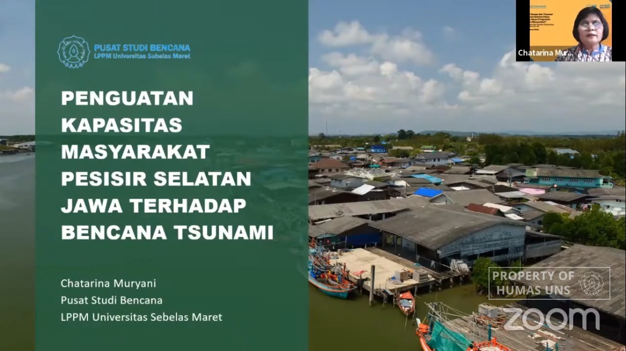
The third speaker, Prof. Dr. Chatarina Muryani, M.Si., discussed disaster mitigation considering the increasing population in the disaster-prone areas around the southern Java coasts. Prof. Chatarina encourages the government, through BMKG could provide direction for local governments to identify the potential disasters in their area and improve people’s capacity through improving people’s readiness, emergency response management, identifying the effect of community’s vulnerability in reducing disaster risks, and improving people’s participation in their environment. Humas UNS
Reporter: Rangga Pangestu Adji
Editor: Dwi Hastuti