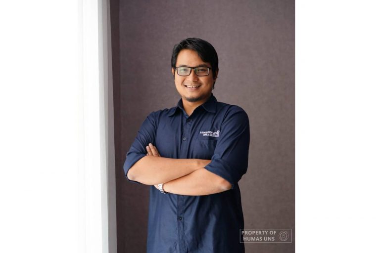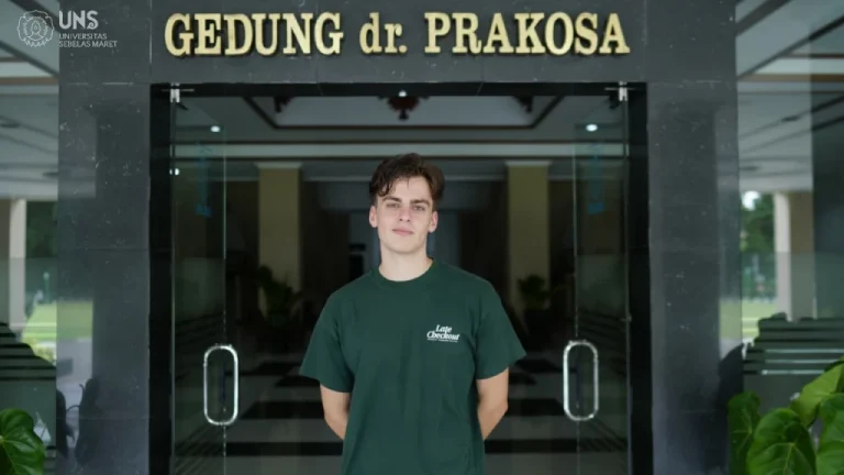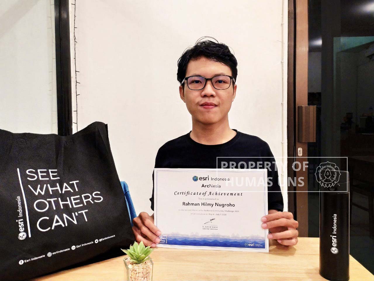
UNS — Rahman Hilmy Nugroho, a student of Universitas Sebelas Maret (UNS) Surakarta has successfully won Second place in ‘ArcNesia Community Challenge’ hosted by ESRI Indonesia. ‘ArcNesia Community Challenge’ is a competition in the tutorial to use ESRI product article writing, which lasted from May 4th to July 6th, 2020.
Rahman from the Urban and Regional Planning (PWK) study program, has accomplished the achievement after writing a tutorial article entitled ‘Calculating the Space Usage Intensity using ArcMap (one of ArcGIS software from ESRI)’. GIS or Geographic Information System is a specific information system that covers spatial (geographic) information. The data is compiled within the software, such data is identified by its location in a database. “Map and GIS mastership become the basic competency in Uran and Regional Planning,” Rahman reveals when contacted by uns.ac.id on Monday (24/8/2020).
Further, he explains that he choose the topic because he realized that there is no available tutorial regarding the specific topic on Youtube and Google. His mastery of the matter also started when he was working on assignments for the ‘Urban Planning’ studio course in the 4th semester. In one of the assignments, he is required to use the space intensity usage in ArcMap quickly. However, at the initial stage, he faced difficulty to do the calculation quickly. “There is only the basic formula, without knowing how to calculate it using the software. Because the time limit for the assignment was getting tight and I had to do a calculation for one city, I worked around and finally found a fast way,” Rahman added.
Therefore, when the competition was announced, Rahman uses his previous assignment in ‘Housing and Settlement Planning’ studio as the basis for his tutorial article. Writing the article took three days, a relatively short period, as the data is already available. When asked about whether he will develop the tutorial for the same topic, Rahman states that he considers the tutorial is enough for him. He invites his comrades who wish to perfect the tutorial to speed-up the calculation process. Meanwhile, Rahman is currently developing several tutorials on different topics. Hopefully, the tutorial he provided can be useful for others. The tutorial can be uploaded in several forums such as Geonet, ArcNesia, or the City Window that he initiated.
“Actually, there are quite many friends asking me about ArcGIS. So instead of explaining it over and over, it will be better if I made a tutorial, thus if there is anyone who asked me about it I just need to share the link to the tutorial video,” Rahman reveals.
Discussing the GIS, Rahman is indeed has a special interest in the use of GIS in spatial planning. He also joined ArcNesia, a community of ArcGIS users in Indonesia to share ideas, interact, and collaborate in the context of ArcGIS usage for government, private sector, education, and anyone interested. Humas UNS
Reporter: Kaffa Hidayati
Editor: Dwi Hastuti